Earlier rain has given way to a leaden sky that may or may not clear. While the wind has a chill to it, it will deter the biting insects. We are staring at kit. A lot of kit.
Monitoring Ure Dales

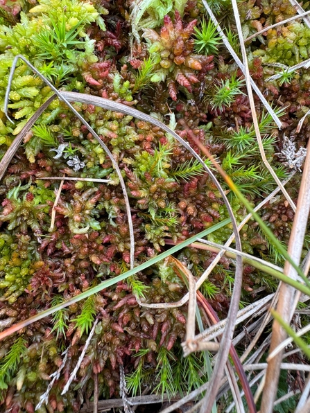
Sphagnum papillosum or possibly palustre © Lyndon Marquis
We (Emma, Gautier and I) are on some peatland in a side dale off Wensleydale to set up five monitoring plots as part of the Ure Dales project (more on why this is important later) funded by Defra's Landscape Recovery Scheme.

Kit for setting up monitoring plots © Lyndon Marquis
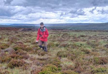
The locations for the plots are already chosen and we have parked as close to them as we can. We’ll carry the kit – wooden stakes, metal rods, data loggers, tools – for three plots to site over perhaps 500 m of rough moorland, set them up, have lunch and then return for the kit for the final two.
I load myself up with sections of drainpipe that, themselves, are laden with threaded metal rods. Gautier has tools and stakes, like some sort of moorland Van Helsing, and Emma has the data loggers, light but bulky in their packaging. None of this actually that heavy but the ground is rough and uneven so our loads must be carried in a way that lets us see our footing.
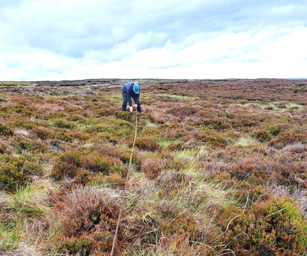
Using trigonometry to set out a the corners of a monitoring plot © Lyndon Marquis
Measuring out a 2 m by 2 m plot © Lyndon Marquis

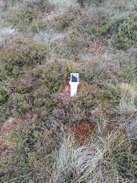
Geotagging one corner of a monitoring plot with a geode © Lyndon Marquis
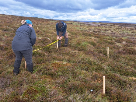
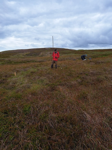
We decant our packs and gear in one spot and Gautier measures out one side of a 10 m by 10 m plot, putting stakes in the ground at each end. He stands at one stake holding a 14 m length of rope and I stand at the other holding a 10 m length of rope. Emma takes the ends of both ropes and strides away until they form a taut right triangle and then puts in a stake in at that new corner.
Gautier and I both shuffle one stake round this geometry and then Emma repeats and, (He-Man voice) by the power of trigonometry, we have created a square. It’s not actually quite that simple – we have a few more shuffle to make sure we’ve got everything in the right place – but we have achieved this (He-Man voice) by the power of trigonometry. Cunningly, there are tape markers on the 14 m rope that allow us to mark out a 2 m by 2 m square with the larger square.
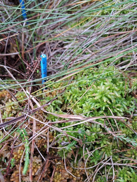
The top of an EotB peat rod standing proud of Sphagnum spp. © Lyndon Marquis
The solar panel of a data logger © Lyndon Marquis
Insert an EotB peat rod © Lyndon Marquis
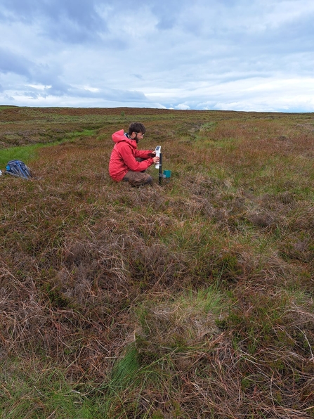
We drop the rust rod into its tube and set about the peat depth rod. Emma takes a 1 m threaded steel rod with a cap on it and pushes it into the peat until it is flush with the surface. As we’ve not hit the mineral base, she retracts it, screws a new section onto the bottom and reinserts. It still sits flush with the surface so she repeats. This time, it hits underlying geology with about 10 cm standing proud of the surface. She measures the exact distance, pulls the rod out and then I take the appropriate length of the bottom with bolt cutters.
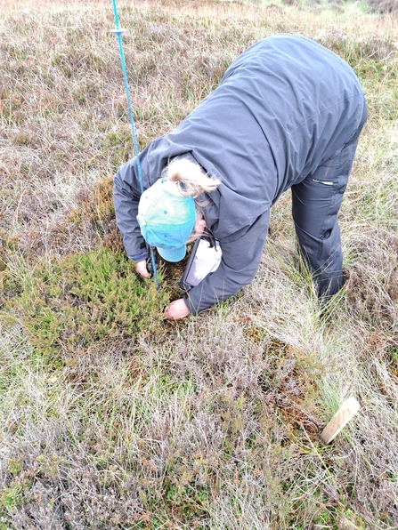
Next we do a vegetation survey for the whole plot. It’s a very coarse survey – percentage cover of heather, other dwarf shrubs, sphagnum, cottongrass, other grasses, other mosses. Yes, cottongrasses are sedges, don’t @ me. The 2 m by 2 m plots will get a more stringent vegetation survey in November.
Installing a rain gauge © Lyndon Marquis
Measuring peat depth © Lyndon Marquis
Gautier carrying a geode © Lyndon Marquis
Meanwhile, Gautier has lowered a data logger into the drainpipe, switched it on and connected it to a south-facing solar panel. The panel looks for all the world like a periscope and now all I can think of is submarine in Jamie and the Magic Torch. One for the older readers there.
With a break for lunch, we install five plots and one rain gauge in what turns out to be a really lovely day. Why go to this effort? The plots each combine features of the Nature for Climate monitoring protocol and the IUCN UK Peatland Programme’s Eyes on the Bog methodology. Over two years, we’ll collect data on changes in the depth of the water table, peat depth, and vegetation – the rain gauge is important because it allows us to disaggregate water table depth from rainfall. Assuming our bid for the implementation phase of Ure Dales is successful, we’ll be collecting data over 20 years of restoration.
Sphagnum medium © Lyndon Marquis
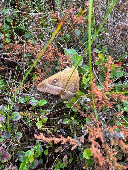
Female oak eggar moth © Lyndon Marquis
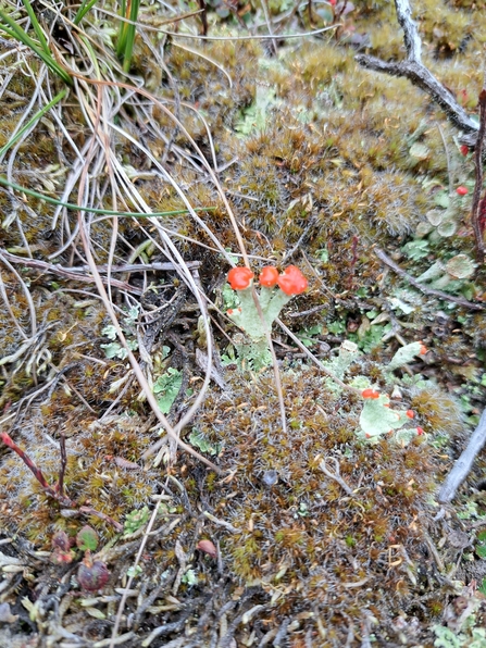
Cladonia spp. © Lyndon Marquis
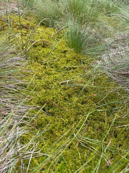
A vegetated gully full of sphagnum and cottongrass © Lyndon Marquis