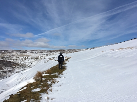
The start of the breeding bird season in April means the end of Yorkshire Peat Partnership’s field surveying and this year was not for the faint hearted. The beast from the east tested our restoration team with high winds, sub-zero temperatures and snow drifts that proved too much even for our plucky Fiat Pandas. Not to let this stop us though, our team managed to survey 6 sites, covering a total area of ~4,659 hectares and collected over 8,000 data points along the way. Not a bad effort.
It takes a lot of hard work before the hard work starts…

Melbecks at sunset © Matthew Snelling
As the blanket bog restoration season gets underway, Matthew Snelling looks back at all the preparation we do before a single tool is lifted.
Snow drift © Rosie Snowden

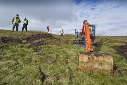
Surveying hagged gully © Dom Hinchley
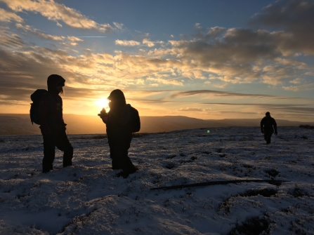
Melbecks at sunset © Matthew Snelling
The field survey helps us to quantify the extent of drainage or erosion features that are damaging the bogs. However this is just the beginning of restoring peatlands to their former glory. What we do with this data next influences what happens on the ground this coming winter.
Post-survey mapping is the crucial step after a survey that turns this wealth of data into something tangible, which we use to understand the complex problems our uplands are facing. Showing this information on a map helps to illustrate the landscape scale of the challenge. We use open source QGIS for most of the mapping but when heavier processing is required, ArcMap is used. You can see some examples below:
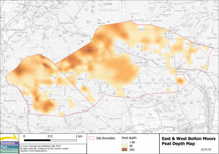
East and West Bolton Moors peat depth map
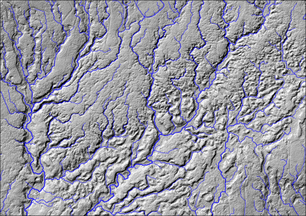
Melbecks flowpath
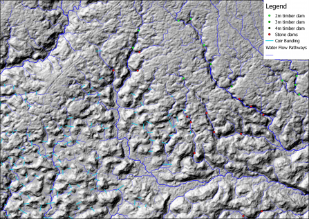
Melbecks flowpath with sediment traps
Yorkshire’s boggy habitats can feel very distant during the long days in the office throughout the summer months. However, our post survey mapping moulds our restoration plans, which guide the work delivered on the ground. The mapping is worthwhile because it means we can squeeze the best value out of every pound we spend and this helps enrich Yorkshire’s landscapes for people and wildlife long into the future.
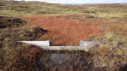
Timber dams at Cray Moss © Rosie Snowden
High West Moor © Matthew Roberts
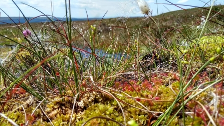
Sphagnum moss carpet with cottongrass and sundews © Dom Hinchley